Latitudes and Longitudes are the units that help to represent the coordinates of a geographic coordinate system. The latitude has the symbol of phi, and it shows the angle between the straight line in a certain point and the equatorial plane.The longitude has the symbol of lambda and is another angular coordinate defining the position of a point on a surface of earth.
What are latitudes?
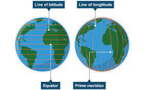
Latitude is the measurement of distance north or south of the Equator. and their direction is from east to west. These are also known as parallels.
What are longitudes?
longitudes indicate the vertical lines that distance any point, i.e., east or west of the prime meridian, and their direction is from north to south. They are termed meridians.
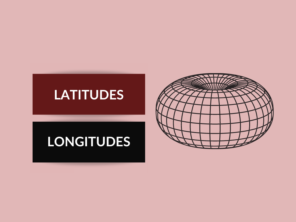
Differences between Latitudes and Longitudes are:
| LATITUDES | LONGITUDES |
|---|---|
| Geographical coordinate | |
| It determines the distance of a point,i.e., the north-south of the equator is called latitude. | It determines the distance of a point,i.e., east-west of the Prime Meridian is termed as longitude. |
| Direction | |
| It directs from east to west, which is parallel to the equator. | It directs from north to south,i.e., intersecting the two poles |
| Represented by | |
| Greek letter phi (ɸ) represents latitude. | Greek letter lambda (λ), represents longitude. |
| Range | |
| They range from 0 to 90 degrees. | They range from 0 to 180 degrees. |
| Place | |
| The parallel circles from the equator to the north and south poles are termed parallels of latitude. | As opposed, the lines of reference, running from the two poles, are known as meridians of longitude. |
| Count | |
| There are 180 latitude lines. | There are 360 longitude lines. |
| Length | |
| The parallels of latitude are of unequal length, | The meridians of longitude are of equal length. |
| Reference | |
| The lines of reference are parallel to each other. | the lines of references are not parallel to each other. |
| Zone | |
| These categorize heat zones, i.e. torrid zone, temperate zone, and frigid zone. | These are used to classify time zones. |
Conclusion:
The surface of the earth is very huge and large enough that it was difficult to locate any point, without the utilization of the mathematical method. And, fictional lines are drawn on the globe, known as latitude and longitude. Both latitude and longitude are imaginary lines, which are used to access various points on the earth’s surface that are measured in degrees.
Also Read: Difference Between Renewable resources and Non-Renewable Resources of Energy